
Exclusive: The evolution of technology and data

James Thorpe
Share this content
Stephanie Weagle, BriefCam CMO takes a closer look at the application of video analytics to improve public safety.
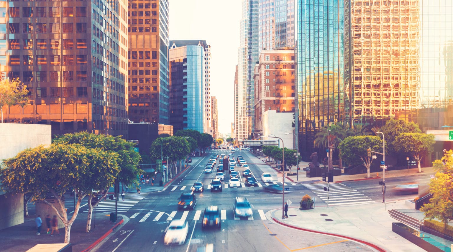
Urban planners are in the business of designing and building public spaces, as well as public infrastructure that makes cities more livable, secure and attractive for residents, tourists and businesses. To drive tourism, residential and economic growth, urban planners aim to create cities with safe streets and walkways, great transportation systems and low crime rates. To achieve these goals, the priorities of urban planners typically fall into these three categories:
- Optimise traffic flows
- Improve transit infrastructure
- Increase public safety
With an eye toward the future and a hand on the wheel of the present, planners collaborate with a variety of municipal agencies, spanning departments such as transportation, public works, highway, parks and recreation, environmental safety, water and sewer utilities, transportation and police.
Planning requires having quantifiable, actionable data about patterns and trends. In the past, planners had to rely on anecdotal observations and disparate data collected by various agencies. With the rise of Big Data that can be aggregated from multiple sources, urban planners have a wealth of information to inform their decision-making. However, the problem remains that Big Data is often siloed, because it is not easily shared among various stakeholders across city agencies.
One way urban planners are utilising data across departmental siloes is through leveraging existing technologies in new and innovative ways. For example, municipal law enforcement and public safety organisations have often invested in vast video surveillance networks for security purposes: to monitor situations in real-time and to collect video evidence for post-incident review. However, for urban planners, video contains a wealth of valuable intelligence regarding how people move throughout a city and utilise its various spaces. With high volumes of video footage and the right tools to make sense of the unstructured information, video which was previously never reviewed can be powerfully leveraged for business intelligence and the full potential of the surveillance investments can be realised.
Video content analytics technology makes this possible by processing video, identifying objects in the video (people, vehicles and other items) and indexing them to enable rapid search and analysis. This video metadata can be aggregated over time for detecting patterns and delivering information via visual reports and dashboards that are easy to understand and share among agencies.
Data visualisation is a significant capability that extends the utility of video to unprecedented groups of stakeholders. By presenting video metadata visually in the form of heatmaps, charts and graphs, video content analytics software drives important urban planning analysis, such as understanding pedestrian and vehicle traffic volumes and patterns throughout a city or the venues within a city. Unlocking the untapped potential of video, video content analytics elevates video surveillance for solving challenges beyond the traditional physical security and law enforcement use cases for which the infrastructure was originally adopted.
Optimising citywide traffic flows and options
Video data visualisation helps governments answer pointed questions, such as how many vehicles cross a certain intersection or a bridge within a certain span of time? And which intersections are the most dangerous for pedestrians? By making video data more easily consumable and interpretable, video analytics helps uncover meaningful insights and identify traffic hotspots. For example, to ensure seamless traffic flow for bicycles, vehicles and pedestrians, urban planners must have accurate intelligence regarding which roadways, bike lanes, or pedestrian paths tend to get crowded and what times of the day or week bottlenecks typically occur.
Operators can segment video data based on relevant vehicle types, areas of interest, times of day and more, to flexibly analyse the specific metrics necessary to make informed decisions about bottleneck prevention and alleviation. Using data visualisation to compare activity at a specific location across multiple days, cities can keep track of trends and anomalies and better prepare for expected and unexpected changes in traffic.
Some video analytics systems include object and people-counting capabilities, as well as dwell reports to provide insight. Planners can then use this data to identify where crosswalks or bike lanes, traffic lights and signage and public transport access points can be modified or added to ensure a safer city for drivers, pedestrians and cyclists. By aggregating data over time, planners gain quantitative insights about the efficiency of pedestrian paths or bike lanes, street or parking lot patterns and where to add a new light or crosswalk.
Driving mobility
Likewise, to assess transportation needs planners must gather statistics for both personal and public transportation, which includes bicycles, trollies, buses and subways. The key to planning future transit projects or construction is having actionable and quantifiable business intelligence regarding how many people use various elements of a transit system, when traffic peaks occur and even which navigational pathways are most used in a terminal or station. Video analytics software can provide transit planners and urban transportation authorities with all that data.
It can also help relevant decision makers understand their ridership better, by breaking down demographic data, such as usage by men versus women or adults versus children, so that planners understand which populations use various facilities or infrastructure. With those details, these planners can tailor transit offerings to better address the needs of the populations that rely on these services, as well as consider untapped communities that might benefit from public transit and how to plan additional infrastructure in ways that will successfully meet the needs of new residents, businesses and visitors.
Increasing public safety
While video analysis effectively extends the value of video beyond its traditional security and law enforcement users, it also enables police departments and public safety bodies to maximise their investment in video in new and impactful ways. Local law enforcement agencies spend significant time every day managing traffic and parking violations, such as vehicles that exceed the speed limit, make illegal U-turns, drive in the wrong direction, or dwell in no-parking zones. They also deal with other infractions, ranging from trucks driving in lanes meant for passenger cars, to jaywalkers crossing streets illegally and cyclists riding in pedestrian-only areas. Although these violations may not always pose extreme danger, they are public safety hazards.
Police cannot monitor every roadway, sidewalk, or intersection, even if their dispatch remotely monitors video surveillance (CCTV) networks. That’s why it has become vitally important for municipalities and their law enforcement agencies to complement their video surveillance systems with technology that accelerates video review, increases situational awareness and enables data-driven decision making.
Police departments often use video content analytics to conduct granular, filtered searches of video footage to pinpoint objects of interest and analyse incident scenes. That functionality is crucial to accelerate investigations and solve crimes more efficiently and accurately. Often, a traffic accident or bottleneck has occurred, officers review and filter video to uncover relevant details and pinpoint evidence to support an investigation. From direction of traffic, car colour and type or even pedestrian identifiers, such as clothing colour or gender, video content analysis accelerates video search by organising unstructured video metadata.
Enforcing traffic laws
Over time, aggregated data can be used to uncover quantitative data about trends, patterns and normative conditions by analysing aggregated video data and benchmarking normal activity. By so doing, operators can then configure alerting logic to trigger notifications for behaviours outside the determined benchmarks. Operators can set up alerts for dwell time, line-crossing, lighting changes or anomalies, as well as pedestrian or vehicle speed, counts and direction. If patrol officers are alerted in real-time when violations occur, they can more quickly and accurately identify and respond in those situations.
Striving to reduce common traffic violations such as illegal U-turns or bi-directional traffic on one-way streets, police and urban planners alike can leverage video analysis to make intelligent decisions and strategies to increase effectiveness. By tracking where and when common violations occur over extended time periods, planners can identify and address patterns of traffic violations or criminal behaviour in various neighbourhoods.
An additional example, “in the wild” license plate recognition (LPR) is an analytic capability for detecting and identifying license plates in unconstrained environments leveraging surveillance cameras. This enables police officers to search for and locate a specific traffic violator, based on a complete or even partial license plate. From alerting to a speeding infraction in real-time to creating reports presenting all the vehicles that exceeded the speed limit over a time range, LPR can be used to drive traffic enforcement and fine issuance – funds which can then be reinvested into city planning and optimisation.
Making video data-driven decisions
Video content analytics software is a powerful tool that enables cities to push their existing video surveillance infrastructure to new ends, gather and share trend data and maximise their return on investment in their current technologies. With data visualisation, smart cities can set and meet their urban planning goals by unlocking the data trends buried in the video surveillance tools they already have. When equipped with data that is highly relevant and easy to understand, urban planners, businesses and municipal agencies can make better decisions about traffic management and improve public safety, public health and the overall quality of life for city residents, visitors and businesses.
For more information, visit: www.briefcam.com
This article was originally published in the February 2022 edition of International Security Journal. Pick up your FREE digital edition here.